

Enhancing Agriculture through Advanced Monitoring and Analysis
Agriculture, the backbone of economies and the source of
sustenance for billions, has always been at the mercy of nature's
unpredictability. However, with the integration of cutting-edge technologies
like remote sensing and satellite imagery, the landscape of agriculture is
rapidly evolving. These technologies have opened new avenues for predicting crop yields with
unprecedented accuracy and efficiency, ushering in an era of precision farming.
This article delves into the pivotal role played by remote sensing and
satellite technology in crop yield prediction, showcasing how these
advancements are transforming the agricultural sector on a grand scale.
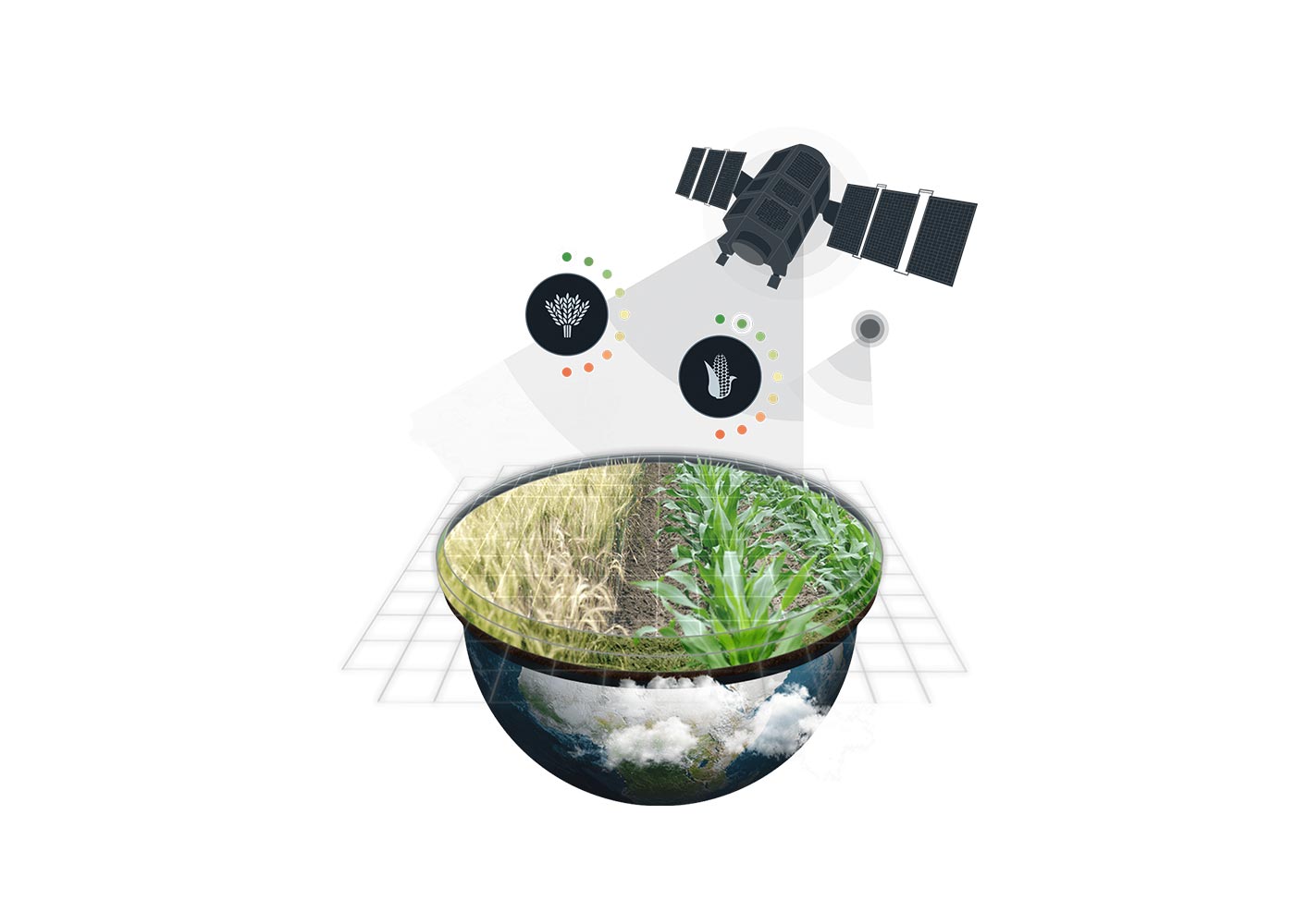
Understanding Remote Sensing and Satellite Technology:
At its core, remote sensing involves gathering data about
the Earth's surface without direct physical contact. Satellite technology,
equipped with various sensors, captures high-resolution images of agricultural
land. These images are not just pictures; they contain a wealth of information
in different wavelengths, ranging from visible light to infrared. Analyzing
this data can reveal crucial insights into the health, growth, and overall
condition of crops.
Crop Monitoring through Satellite Imagery:
One of the fundamental applications of satellite
technology in agriculture is real-time crop monitoring. Satellites orbiting the
Earth capture detailed images of agricultural regions, enabling farmers and
researchers to monitor crop growth throughout the season. These images are not
limited by political boundaries, providing a global perspective on agricultural
activities.
By employing satellite imagery, farmers can track the
progress of their crops, assess their health, and identify potential issues
such as pest infestations, diseases, or nutrient deficiencies. This real-time
monitoring allows for timely interventions, ensuring that problems are
addressed before they can significantly impact the yield. Additionally,
satellite data enables farmers to optimize irrigation, monitor soil moisture
levels, and assess the effectiveness of their agricultural practices.
Assessing Crop Health:
Remote sensing technology, especially in the infrared
spectrum, provides valuable insights into the health of crops Healthy plants reflect and absorb light differently than stressed or
diseased plants. By analyzing these spectral signatures, experts can identify
subtle changes in crop health that are imperceptible to the human eye.
For example, stressed plants exhibit different levels of
chlorophyll absorption, allowing scientists to pinpoint areas of the field that
require attention. This information is invaluable for farmers as it helps them
target specific areas for irrigation, fertilization, or pest control,
optimizing their resources and ensuring a healthy yield.
Predicting Crop Yields:
Satellite technology, in conjunction with sophisticated data
analytics, has revolutionized the way crop yields are predicted. By combining
historical weather data, soil quality information, and satellite imagery,
researchers can develop complex models that predict crop yields with remarkable
accuracy. These models take into account various factors, including crop type,
planting dates, weather patterns, and pest threats, creating a comprehensive
framework for yield estimation.
The keyword here, "crop weather outlook," becomes
particularly relevant in this context. Weather patterns play a significant role
in crop development and yield. By integrating crop weather outlook data with
satellite imagery, scientists can create predictive models that consider
upcoming weather conditions. For instance, anticipating a period of drought
allows farmers to adjust their irrigation schedules and implement
drought-resistant crop varieties, mitigating potential losses.
Challenges and Future Prospects:
While remote sensing and satellite technology have
undeniably transformed agriculture, challenges remain. The accessibility of
these technologies to small-scale farmers, especially in developing countries,
is a concern. Addressing this issue requires concerted efforts from
governments, NGOs, and private sectors to make these technologies affordable
and user-friendly for farmers worldwide.
Looking ahead, the future prospects are promising.
Advancements in satellite technology, such as higher resolution imagery and
more frequent updates, will further enhance the accuracy of crop monitoring and
yield prediction. Moreover, integrating these technologies with artificial
intelligence and machine learning algorithms will enable real-time, data-driven
decision-making for farmers, ensuring optimal yields and sustainable
agricultural practices.
In conclusion, the role of remote sensing and satellite
technology in crop yield prediction cannot be overstated. By providing a
bird's-eye view of agricultural landscapes, these technologies empower farmers
with knowledge and insights that were once unimaginable. The marriage of
satellite data and crop weather outlook information not only enhances our
ability to predict yields but also fosters a resilient agricultural sector
capable of feeding the ever-growing global population. These technologies have
opened new avenues for predicting crop yields with unprecedented accuracy and
efficiency, ushering in an era of precision farming. As we continue to explore
the depths of space and harness the power of data analytics, the future of
agriculture is poised for unprecedented growth, ensuring food security and
agricultural sustainability for generations to come.
Share:


