

Lake Balaton was formed mainly by tectonic forces
12,000-20,000 years ago. Prior to the opening of Sio-canal in 1863, its water
level was 3 m higher and its surface was about twice larger than at the present.
With its surface area of 593 km2, Lake Balaton is the largest lake in Central
Europe, but its mean depth is only 3.2 m.
The main inflow, the Zala River, empties into the
southwestern end of the lake, while the Sio-canal drains the water from the
eastern basin into the River Danube.
The lake is covered by ice in winter. In summer the average
water temperature is 23deg C. The strong waves swirl up much sediment,
rendering the transparency low.
The major ions of the water are Ca2+, Mg2+ and HCO3-.
The pH is 8.4, rising to higher values during intensive primary production.
Oxygen deficiency is formed only temporarily in the western part of the lake in
calm summer periods with algal blooms.
The distribution of macrophytes is restricted by strong
waves to a relatively narrow belt. Only 3 percent of the lake surface is
covered by reeds, and even less by submerged macrophytes. The major primary
producers are phytoplankton. Zooplankton is not abundant. Zoobenthos represents
an important food for the fish. The annual commercial fish catch is 1200 tons.
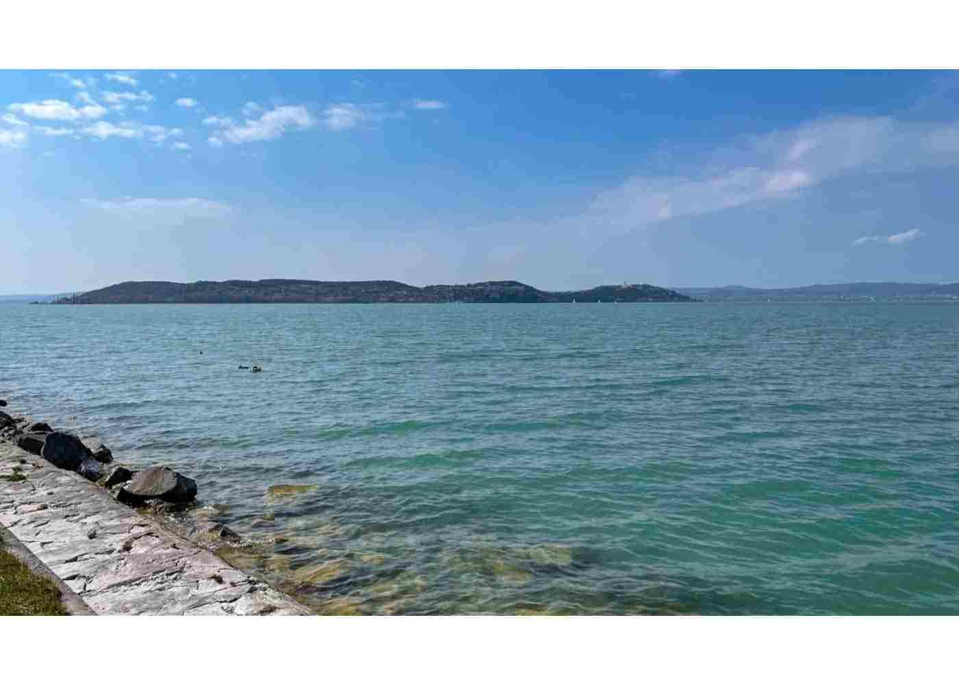
The southern shore of the lake consists of sandy beach,
while on the northern shore there are mountains of volcanic origin with old
ruins on their tops and vineyards on their slopes. The picturesque landscape
and the water ideal for swimming and other water sports attract 2 million
tourists annually.
The sewage discharge from rapidly developing towns in the
watershed, the growing use of fertilizers in agriculture and large animal farms
increased the nutrient loading to the lake in the last decades. A rapid
eutrophication became apparent by increased production and biomass of
phytoplankton. Blooms of blue-green algae are frequent in the most polluted
western part of the lake.
An eutrophication control program has been formulated, based
on intensive scientific researches. Most of the municipal sewage is now
diverted from recreational areas. Phosphorus removal was introduced at other
sewage treatment plants. A reservoir was constructed to retain the nutrients
carried by the Zala River. Pollution due to liquid manure was reduced.
Construction of more reservoirs on major tributaries of the lake and a soil
protection program are in progress.

Physical Dimensions

Physiographic Features - Geographical
- Bathymetric map: Fig. EUR-04-01.
- Names of main islands: None.
- Number of outflowing rivers and channels (name): 1
(Sio-canal).
Physiographic Features - Climatic
- Climatic data at Siofok

- Number of hours of bright sunshine (1951-1980): 2,052 hr
yr^-1.
- Solar radiation (1931-1960): 12.2 MJ m^-2 day^-1

- Water temperature [deg C]

- Freezing period (1927-1963): 4 January-24 February.
- Mixing type: Polymictic.
Lake Water Quality - Transparency [m]

pH Level
8.4, rising to 8.9 in the western part of the lake during
summer algal blooms.
SS [mg l-1]

DO [mg l-1]
The dissolved O2 concentration is usually close to the
saturation level. Strong oversaturation at the surface and O2 deficiency
near bottom sediment are found only in the western part of the lake in calm
summer periods during algal blooms.
COD [mg l-1]
Determined by KMnO4 method

Chlorophyll Concentration [micro g l-1]

Nitrogen Concentration
- Total-N [mg l-1]

Phosphorus Concentration
- Total-P [mg l-1]

Biological Features
Flora
Fauna
Primary Production Rate [mg C m-2 day-1](6, 7)

* [g C m-2 yr-1]
Biomass
- Zooplankton: 2.5 [g (dry wt.) m-2].
- Zoobenthos: 2.7 [g (dry wt.) m-2].
Fishery Products
Past Trends: Fig. EUR-04-02, 03, 04, 05 and 06.


Socio-Economic Conditions
Land Use in the Catchment Area – 1982

- Main kinds of crops: Wheat, maize, hay, grape and fruits.
Industries in the Catchment Area and the Lake

Population in the Catchment Area

Lake Utilization
Lake Utilization
Source of water, navigation and transportation, sightseeing
and tourism (no. of visitors in 1982: 1,800,000), recreation (swimming,
sport-fishing, yachting) and fisheries
The Lake as Water Resource

Deterioration of Lake Environments and Hazards
Enhanced Siltation
- Extent of damage: Not serious.
Toxic Contamination
- Present status: Detected but not serious.
- Main contaminants, their concentrations and sources (lake
average)

Eutrophication

- Supplementary notes
1. Development of sewerage and sewage treatment plants.
2. Phosphorus removal at sewage treatment plants.
3. Diversion of a greater part of treated effluents produced
in recreational areas from the watershed of the lake.
4. Establishment of reservoirs on larger tributaries to
retain plant nutrients.
5. Elimination of large livestock breeding farms from the
watershed or the assurance of full agricultural utilization of their wastes
(mainly liquid manure).
6. Removal of the surface layer of lake sediments in areas
of high phosphorus accumulation.
7. Land reclamation and soil amelioration.
Wastewater Treatments
Generation of Pollutants in the Catchment Area
- Extensive development of the catchment area with provision
for municipal wastewater treatment.
Sanitary Facilities and Sewerage
- Percentage of rural population with adequate sanitary
facilities (on-site treatment systems): 100%.
Legislative and Institutional Measures for Upgrading Lake Environments
National and Local Laws Concerned
- Names of the laws (the year of legislation)
1. Hungarian Water Act (1964)
2. Environment Protection Act (1976)
3. Revision of the Water Resources Development Program of
the Lake Balaton Area (1979)
4. Resolution of the Council of Ministers on Restoration of
Water Quality of Lake Balaton (1983)
- Responsible authorities
1. National Water Authority
2. Ministry of Public Health
3. Ministry of Agriculture
4. Ministry of Construction and Town Development
5. National Authority for Environment Protection and Nature
Conservation
Institutional Measures
1. National Water Authority
Research Institutes Engaged In the Lake Environment Studies
1. Balaton Limnological Research Institute of the Hungarian
Academy of Sciences, Tihany
2. Research Centre for Water Resources Development
3. National Public Health Institute
4. Karl Marx University of Economics
5. Scientific and Design Institute for Urban Planning
6. Institute for Environmental Protection
- Supplementary notes
Sources of Data
Questionnaire filled by Dr. S. Herodek, Balaton Limnological
Research Institute of the Hungarian Academy of Sciences, Tihany.
1. Illes I. (ed.)(1981) Our Lake Balaton. Natura Press,
Budapest (in Hungarian).
2. National Meteorological Service-Data Bank.
3. Research Centre for Water Resources Development-Data
Bank.
4. Voros, L. (1985) Phytoplankton changes in space and time
in Lake Balaton. D. Sc. Thesis (in Hungarian).
5. Ponyi, J. E. (1986) Pelagic and benthic invertebrates of
Lake Balaton and their ecology. D. Sc. Thesis (in Hungarian).
6. Herodek, S. & Tamas, G. (1976) The primary production
of phytoplankton in the Keszthely-basin of Lake Balaton in 1973-1974. Annal.
Biol. Tihany, 42: 175-190.
7. Herodek, S., Voros, L. & Toth, F. (1982) The mass and
production of phytoplankton and the eutrophication in Lake Balaton III. The
Balatonszemes basin in 1976-1977 and the Siofok basin in 1977. Hidrol. Kozl.,
62: 220-229 (in Hungarian with English summary).
8. National Authority for Environment Protection and Nature
Conservation (1984) Balaton 1982.
9. Salanki, J. V., Balogh, K. & Berta, E. (1982) Heavy
metals in animals of Lake Balaton. Water Research, 16: 1147-1152.
Share:


